Aerial image 107220
Senkrechtluftbild von der Friedrichstraße und ihrer Umgebung mit dem Brandenburger Tor, Potsdamer Platz, Unter den Linden, Berliner Dom und der Museumsinsel in Berlin Mitte.
BERLIN 24.08.2009
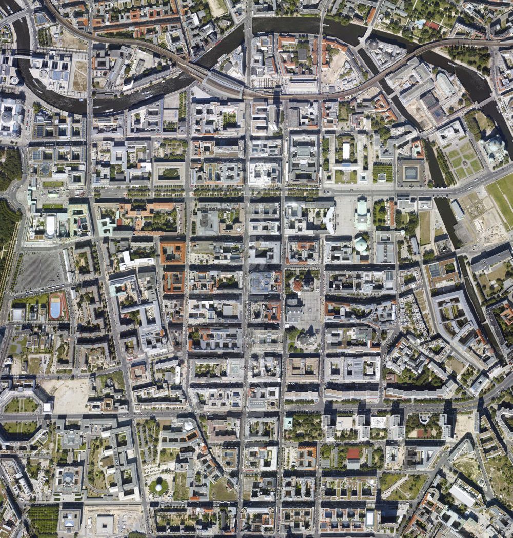
Photo: Henrik Pohl
Aerial image ID: 107220
Image resolution: 3861 x 4049 pixels x 24 bit
compressed image file size: 7,74 MB
Image file size: 44,73 MB
Sources and credit: © euroluftbild.de/Henrik Pohl
The recording is permitted due to the so-called freedom of panorama according to § 59 UrhG. The provision of Section 59 UrhG conforms to the directive based on Art. 5 Para. 3 Letter c of Directive 2001/29/EC of the European Parliament and of the Council of May 22, 2001 on the harmonization of certain aspects of copyright and related property rights in the information society ("InfoSoc-RL") to be interpreted. The directive-compliant interpretation shows that aerial photographs are also covered by § 59 Para. 1 UrhG and the use of tools does not lead out of the protective barrier.