Aerial image 489190
Vertical aerial view from the satellite perspective of the treetops in a forest area in Beelitz in the state Brandenburg, Germany
BEELITZ 21.10.2019
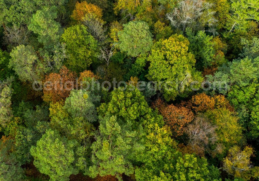
Vertical aerial view from the satellite perspective of the treetops in a forest area in Beelitz in the state Brandenburg, Germany. Photo: zb Zentralbild GmbH/Monika Skolimowska
Aerial image ID: 489190
Image resolution: 4638 x 3256 pixels x 24 bit
compressed image file size: 15,56 MB
Image file size: 43,21 MB
Sources and credit: © euroluftbild.de/zb Zentralbild GmbH
The recording is permitted due to the so-called freedom of panorama according to § 59 UrhG. The provision of Section 59 UrhG conforms to the directive based on Art. 5 Para. 3 Letter c of Directive 2001/29/EC of the European Parliament and of the Council of May 22, 2001 on the harmonization of certain aspects of copyright and related property rights in the information society ("InfoSoc-RL") to be interpreted. The directive-compliant interpretation shows that aerial photographs are also covered by § 59 Para. 1 UrhG and the use of tools does not lead out of the protective barrier. www.klebba.legal
Position: 52° 15' 39.31'' N / 12° 55' 22.52'' E