Aerial photograph 629185
Vertical aerial view from the satellite perspective of the traffic management of the roundabout road on street Unter Linden in the district Widdersdorf in Cologne in the state North Rhine-Westphalia, Germany
KöLN 09.05.2021
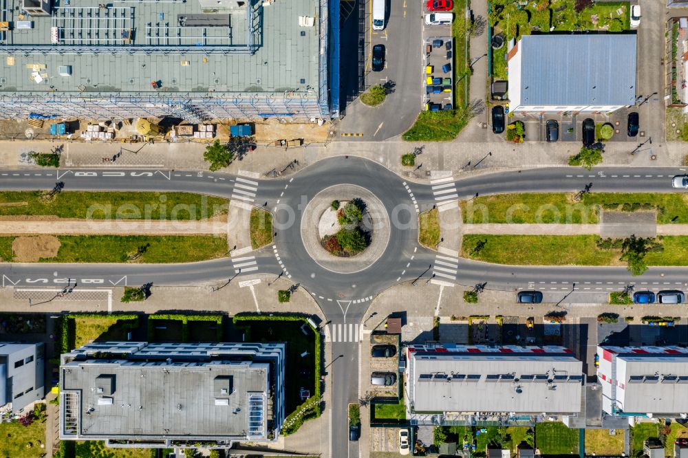
Vertical aerial view from the satellite perspective of the traffic management of the roundabout road on street Unter Linden in the district Widdersdorf in Cologne in the state North Rhine-Westphalia, Germany. Photo: Frank R. Weihs
Aerial image ID: 629185
Image resolution: 5462 x 3638 pixels x 24 bit
compressed image file size: 11,29 MB
Image file size: 56,85 MB
Sources and credit: © euroluftbild.de/Frank R. Weihs
All information gathered here in picture and word represent a non-binding information offer to you, which was compiled from trustworthy media. Objections or correction notes please to info@euroluftbild.de - Media licenses according to MfM table! www.slegal.de
Position: 50° 57' 47.63'' N / 6° 50' 28.44'' E