Aerial image 488252
Vertical aerial view from the satellite perspective of the row of trees in a field edge in Arensdorf in the state Brandenburg, Germany
ARENSDORF 22.04.2020
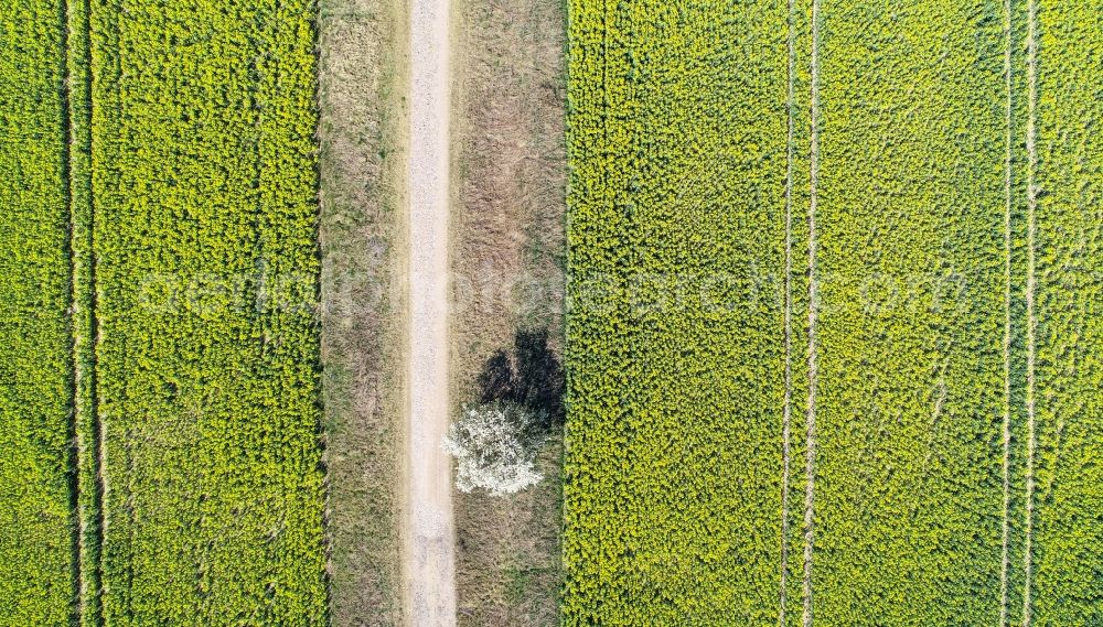
Vertical aerial view from the satellite perspective of the row of trees in a field edge in Arensdorf in the state Brandenburg, Germany. Photo: zb Zentralbild GmbH/Patrick Pleul
Aerial image ID: 488252
Image resolution: 4723 x 2692 pixels x 24 bit
compressed image file size: 7,13 MB
Image file size: 36,38 MB
Sources and credit: © euroluftbild.de/zb Zentralbild GmbH
The recording is permitted due to the so-called freedom of panorama according to § 59 UrhG. The provision of Section 59 UrhG conforms to the directive based on Art. 5 Para. 3 Letter c of Directive 2001/29/EC of the European Parliament and of the Council of May 22, 2001 on the harmonization of certain aspects of copyright and related property rights in the information society ("InfoSoc-RL") to be interpreted. The directive-compliant interpretation shows that aerial photographs are also covered by § 59 Para. 1 UrhG and the use of tools does not lead out of the protective barrier. www.klebba.legal
Position: 52° 25' 54.65'' N / 14° 14' 56.4'' E