Aerial photograph 341589
Vertical aerial view from the satellite perspective of the Fishing - ship under way lake Achterwasser in Warthe in the state Mecklenburg - Western Pomerania, Germany
WARTHE 02.04.2011
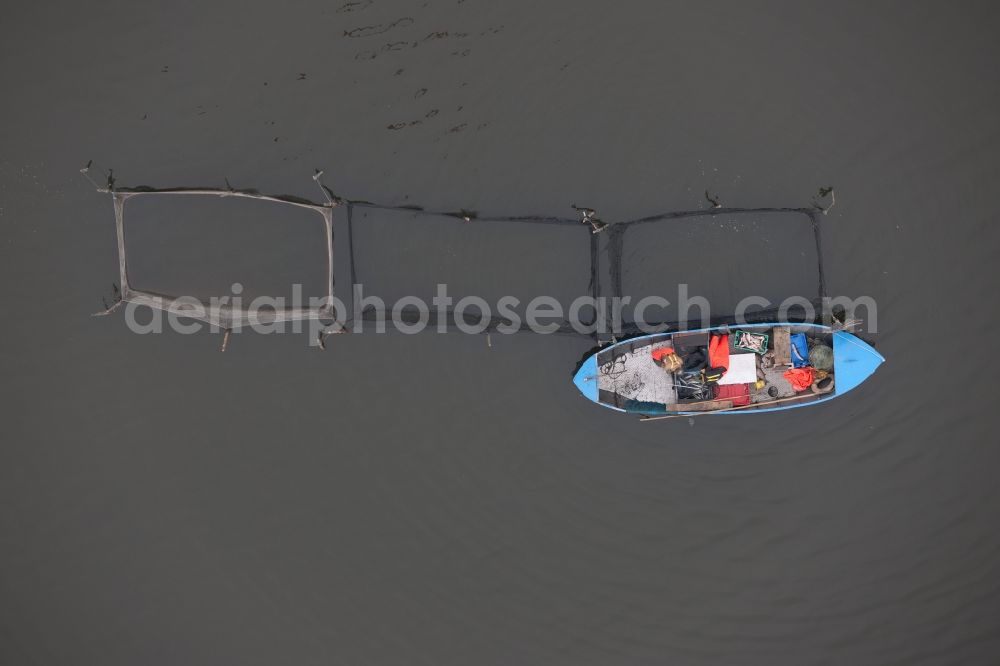
Vertical aerial view from the satellite perspective of the Fishing - ship under way lake Achterwasser in Warthe in the state Mecklenburg - Western Pomerania, Germany. Photo: Pedro Citoler
Aerial image ID: 341589
Image resolution: 6048 x 4032 pixels x 24 bit
compressed image file size: 9,3 MB
Image file size: 69,77 MB
Sources and credit: © euroluftbild.de/Pedro Citoler
The recording is permitted due to the so-called freedom of panorama according to § 59 UrhG. The provision of Section 59 UrhG conforms to the directive based on Art. 5 Para. 3 Letter c of Directive 2001/29/EC of the European Parliament and of the Council of May 22, 2001 on the harmonization of certain aspects of copyright and related property rights in the information society ("InfoSoc-RL") to be interpreted. The directive-compliant interpretation shows that aerial photographs are also covered by § 59 Para. 1 UrhG and the use of tools does not lead out of the protective barrier. www.klebba.legal
Position: 53° 59' 10.49'' N / 13° 54' 7.8'' E