Aerial photograph 51041
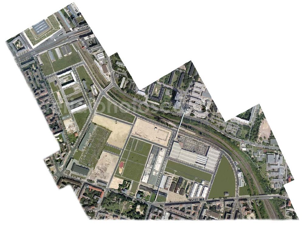
retuschierte Fassung der Senkrechtaufnahme - Senkrechtluftbild auf das Gelände des Stadtentwicklungsgebietes an der Eldenaer Straße in Berlin-Friedrichshain.
BERLIN-FRIEDRICHSHAIN 11.08.2005
Aerial image ID: 51041
Image resolution: 16365 x 12208 pixels x 24 bit
compressed image file size: 29,11 MB
Image file size: 571,59 MB
Sources and credit: © euroluftbild.de/Henrik Pohl
The recording is permitted due to the so-called freedom of panorama according to § 59 UrhG. The provision of Section 59 UrhG conforms to the directive based on Art. 5 Para. 3 Letter c of Directive 2001/29/EC of the European Parliament and of the Council of May 22, 2001 on the harmonization of certain aspects of copyright and related property rights in the information society ("InfoSoc-RL") to be interpreted. The directive-compliant interpretation shows that aerial photographs are also covered by § 59 Para. 1 UrhG and the use of tools does not lead out of the protective barrier.