Aerial photograph 560483
Village - view on the edge of agricultural fields and farmland in Dobel in northern Black Forest in the state Baden-Wuerttemberg
DOBEL 30.06.1959
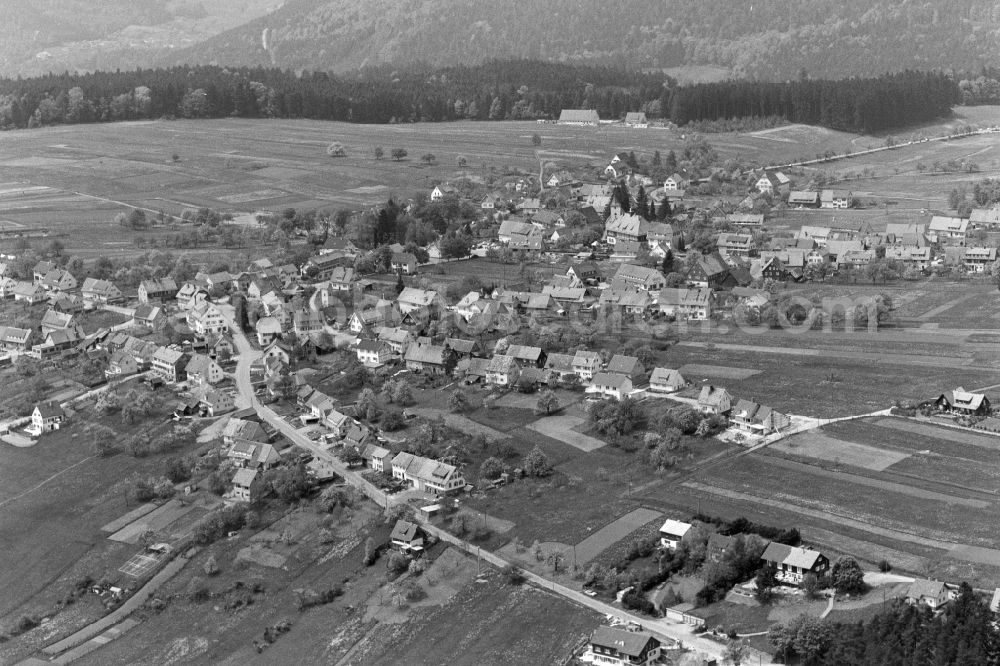
Village - view on the edge of agricultural fields and farmland in Dobel in northern Black Forest in the state Baden-Wuerttemberg. Photo: Hugo Moser
Aerial image ID: 560483
Image resolution: 6000 x 4000 pixels x 24 bit
compressed image file size: 17,17 MB
Image file size: 68,66 MB
Sources and credit: © euroluftbild.de/Hugo Moser
All information gathered here in picture and word represent a non-binding information offer to you, which was compiled from trustworthy media. Objections or correction notes please to info@euroluftbild.de - Media licenses according to MfM table!
Position: 48° 47' 55.79'' N / 8° 29' 42.05'' E
Keywords
#Dobel
#aerial photo
#aerial photography
#aerial picture
#aerial view
#air photo
#Europe
#Germany
#Baden-Wurttemberg
#Village
#settlement
#infrastructure
#roads
#buildings
#home
#community
#country
#Edge
#field
#agriculture
#area
#structure
#Color
#monochrome
#black and white
#black
#white
#contrast
#time
#history
#historical
#past
#heritage