Aerial photograph 224609
View of the Jammelshofen part of the borough of Kaltenborn in the state of Rhineland-Palatinate. Kaltenborn is located in the centre of the Hocheifel region in the foothills of the Hohe Acht, the highest mountain range of the region. View of the centre of the borough with residential areas, agricultural land and farms, surrounded by forest and hills. Jammelshofen is located in its South
KALTENBORN 03.05.2011
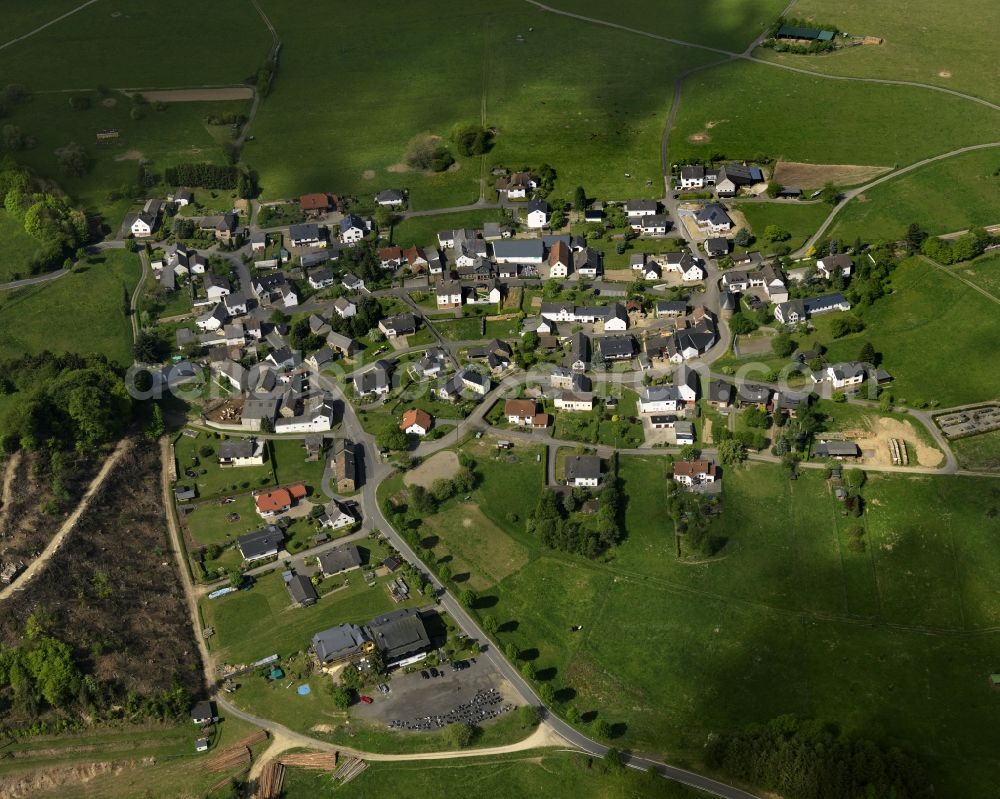
View of the Jammelshofen part of the borough of Kaltenborn in the state of Rhineland-Palatinate. Kaltenborn is located in the centre of the Hocheifel region in the foothills of the Hohe Acht, the highest mountain range of the region. View of the centre of the borough with residential areas, agricultural land and farms, surrounded by forest and hills. Jammelshofen is located in its South. www.kaltenborn-eifel.de Photo: Gerhard Launer
Aerial image ID: 224609
Image resolution: 5906 x 4724 pixels x 24 bit
compressed image file size: 5,24 MB
Image file size: 79,82 MB
Sources and credit: © euroluftbild.de/Gerhard Launer
The recording is permitted due to the so-called freedom of panorama according to § 59 UrhG. The provision of Section 59 UrhG conforms to the directive based on Art. 5 Para. 3 Letter c of Directive 2001/29/EC of the European Parliament and of the Council of May 22, 2001 on the harmonization of certain aspects of copyright and related property rights in the information society ("InfoSoc-RL") to be interpreted. The directive-compliant interpretation shows that aerial photographs are also covered by § 59 Para. 1 UrhG and the use of tools does not lead out of the protective barrier. www.klebba.legal
Position: 50° 24' 18.13'' N / 7° 0' 52.8'' E