Aerial image 194410
The high speed rail line of Cologne-Rhine/Main and the highway Autobahn A3 near Dierdorf in the state of Rhineland-Palatinate. The closeness of both transit ways is one of the distinct characteristics of the rail line in this area. The Autobahn circles around villages and cities and the rail runs beneath them through tunnels. Outside of the residential and urban areas, both go together
DIERDORF 28.05.2010
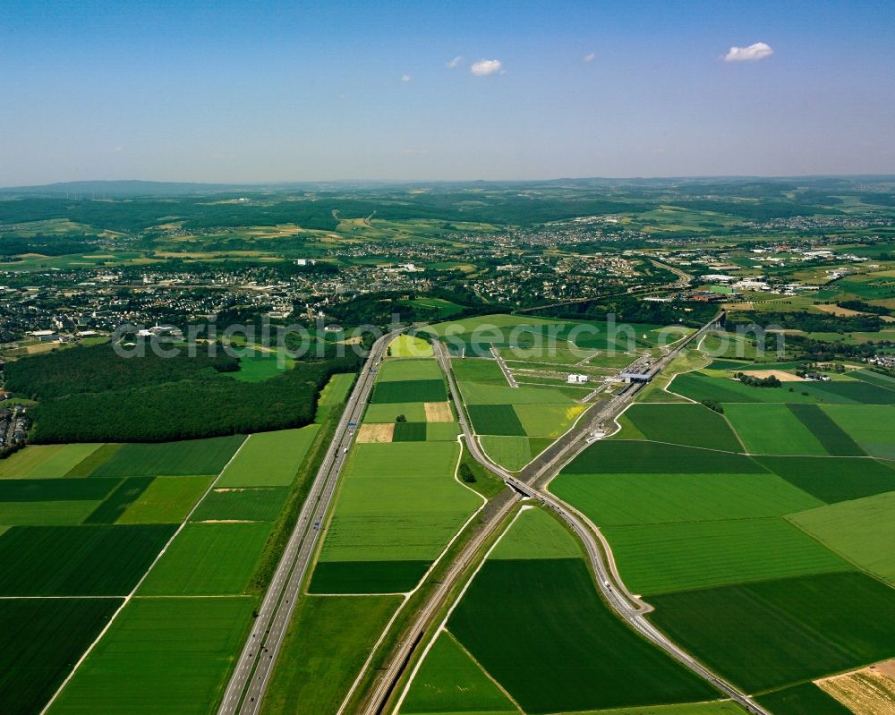
The high speed rail line of Cologne-Rhine/Main and the highway Autobahn A3 near Dierdorf in the state of Rhineland-Palatinate. The closeness of both transit ways is one of the distinct characteristics of the rail line in this area. The Autobahn circles around villages and cities and the rail runs beneath them through tunnels. Outside of the residential and urban areas, both go together. Photo: Gerhard Launer
Aerial image ID: 194410
Image resolution: 3937 x 3150 pixels x 24 bit
compressed image file size: 7,64 MB
Image file size: 35,48 MB
Sources and credit: © euroluftbild.de/Gerhard Launer
The recording is permitted due to the so-called freedom of panorama according to § 59 UrhG. The provision of Section 59 UrhG conforms to the directive based on Art. 5 Para. 3 Letter c of Directive 2001/29/EC of the European Parliament and of the Council of May 22, 2001 on the harmonization of certain aspects of copyright and related property rights in the information society ("InfoSoc-RL") to be interpreted. The directive-compliant interpretation shows that aerial photographs are also covered by § 59 Para. 1 UrhG and the use of tools does not lead out of the protective barrier. www.klebba.legal