Aerial photograph 149323
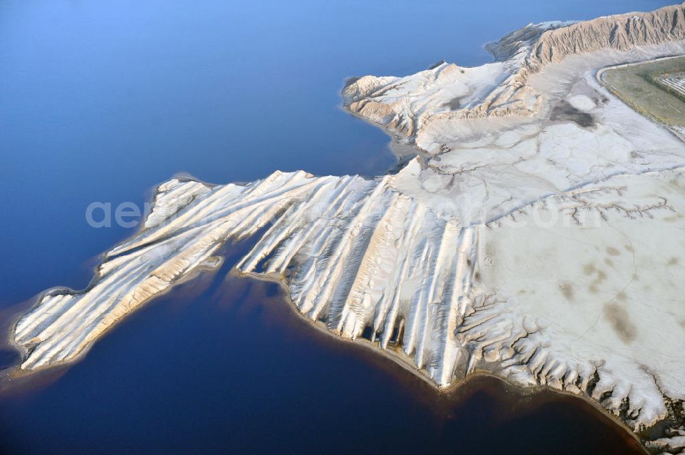
Tagebaulandschaft mit Abraumhalden am Blunoer Südsee (obersorbisch Juzny Blunjanski jezor) ist ein Tagebaurestsee der Lausitzer Seenkette im sächsischen Teil des Lausitzer Seenlandes, auf dem Gebiet der Gemeinde Elsterheide. Seinen Namen verdankt der See einerseits seiner Lage südlich des Ortes Bluno. Der See entstand durch Flutung des Restlochs „ Nordschlauch “ des Tagebaues Spreetal. Lusatian lake district in the Saxon part of the Lusatian Lake District.
BLUNO 08.11.2011
Aerial image ID: 149323
Image resolution: 4256 x 2832 pixels x 24 bit
compressed image file size: 3,64 MB
Image file size: 34,48 MB
Sources and credit: © euroluftbild.de/Robert Grahn
The recording is permitted due to the so-called freedom of panorama according to § 59 UrhG. The provision of Section 59 UrhG conforms to the directive based on Art. 5 Para. 3 Letter c of Directive 2001/29/EC of the European Parliament and of the Council of May 22, 2001 on the harmonization of certain aspects of copyright and related property rights in the information society ("InfoSoc-RL") to be interpreted. The directive-compliant interpretation shows that aerial photographs are also covered by § 59 Para. 1 UrhG and the use of tools does not lead out of the protective barrier. www.klebba.legal