Aerial photograph 267971
Shore areas with flooded by flood level riverbed der Havel in Hansestadt Havelberg in the state Saxony-Anhalt
HANSESTADT HAVELBERG 30.06.2013
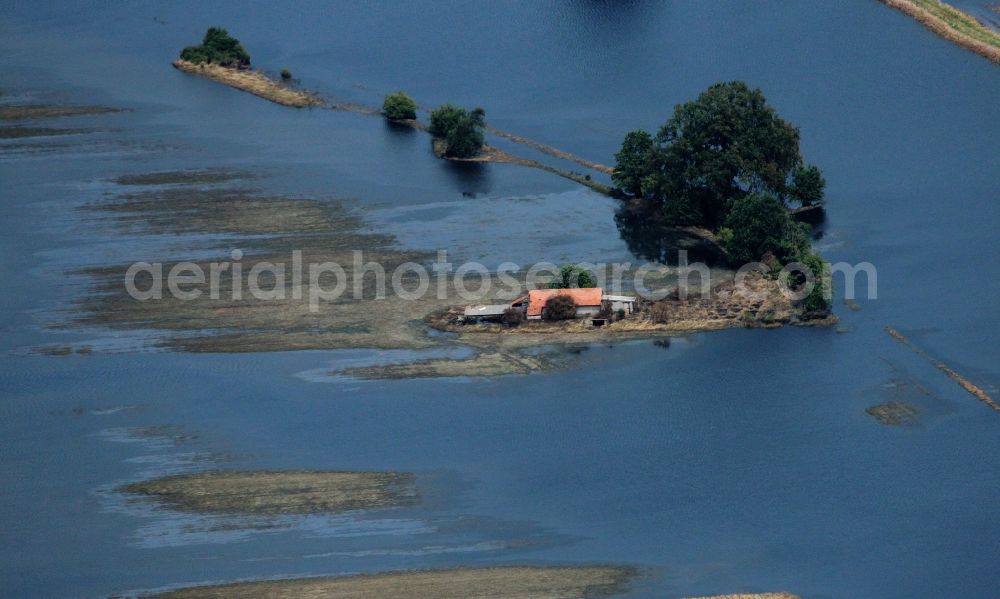
Shore areas with flooded by flood level riverbed der Havel in Hansestadt Havelberg in the state Saxony-Anhalt. Photo: Reinhard v. Wegerer
Aerial image ID: 267971
Image resolution: 4308 x 2586 pixels x 24 bit
compressed image file size: 4,63 MB
Image file size: 31,87 MB
Sources and credit: © euroluftbild.de/Reinhard v. Wegerer
Medien- Lizenzen gemäß MFM - Luftbildaufschlag: 100%
Position: 52° 49' 57.51'' N / 12° 4' 35.02'' E