Aerial image 211890
Sattelstaedt is a district of the municipality Hoerselberg-Hainich in Thuringia. The place is accessible via a connection point of the A4 highway. Beyond the tracks of the railway Thuringia stands the church of St. John on a slight elevation
SATTELSTäDT 23.06.2013
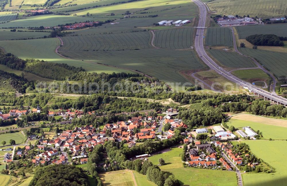
Sattelstaedt is a district of the municipality Hoerselberg-Hainich in Thuringia. The place is accessible via a connection point of the A4 highway. Beyond the tracks of the railway Thuringia stands the church of St. John on a slight elevation. Photo: Karina Hessland
Aerial image ID: 211890
Image resolution: 4694 x 3049 pixels x 24 bit
compressed image file size: 8,67 MB
Image file size: 40,95 MB
Sources and credit: © euroluftbild.de/Karina Hessland
All information gathered here in picture and word represent a non-binding information offer to you, which was compiled from trustworthy media. Objections or correction notes please to info@euroluftbild.de - Media licenses according to MfM table!