Aerial image 290770
Sandbank- land area by flow under the sea water surface North Atlantic Ocean in Long Island in Bahamas
LONG ISLAND 05.03.2015
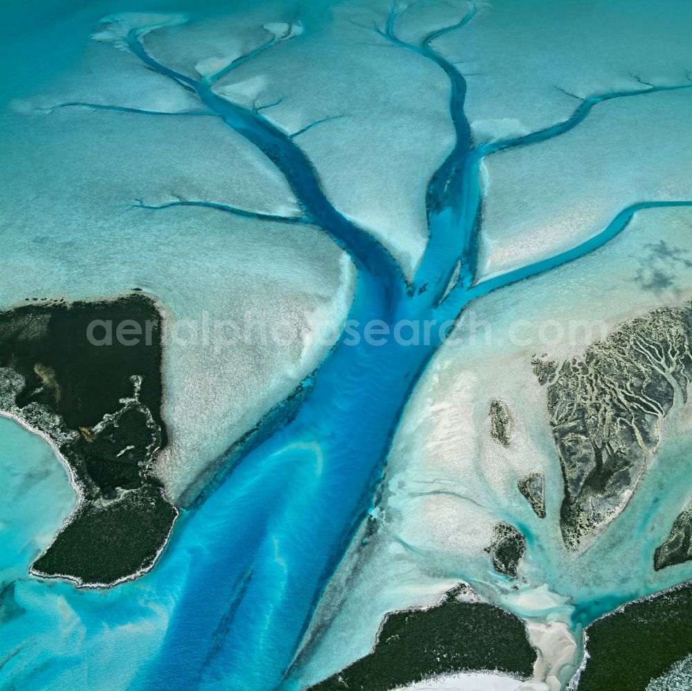
Sandbank- land area by flow under the sea water surface North Atlantic Ocean in Long Island in Bahamas. Restriction: No POD - Print on Demand uses allowed! Photo: Bernhard Edmaier
Aerial image ID: 290770
Image resolution: 4725 x 4723 pixels x 24 bit
compressed image file size: 7,61 MB
Image file size: 63,85 MB
Sources and credit: © euroluftbild.de/Bernhard Edmaier
All information gathered here in picture and word represent a non-binding information offer to you, which was compiled from trustworthy media. Objections or correction notes please to info@euroluftbild.de - Media licenses according to MfM table!
Position: 23° 10' 35.12'' N / 75° -9006' 13.85'' W