Aerial photograph 314937
Sandbank- land area by flow under the sea water surface the Baltic Sea by Loissin in the state Mecklenburg - Western Pomerania
LOISSIN 15.08.2015
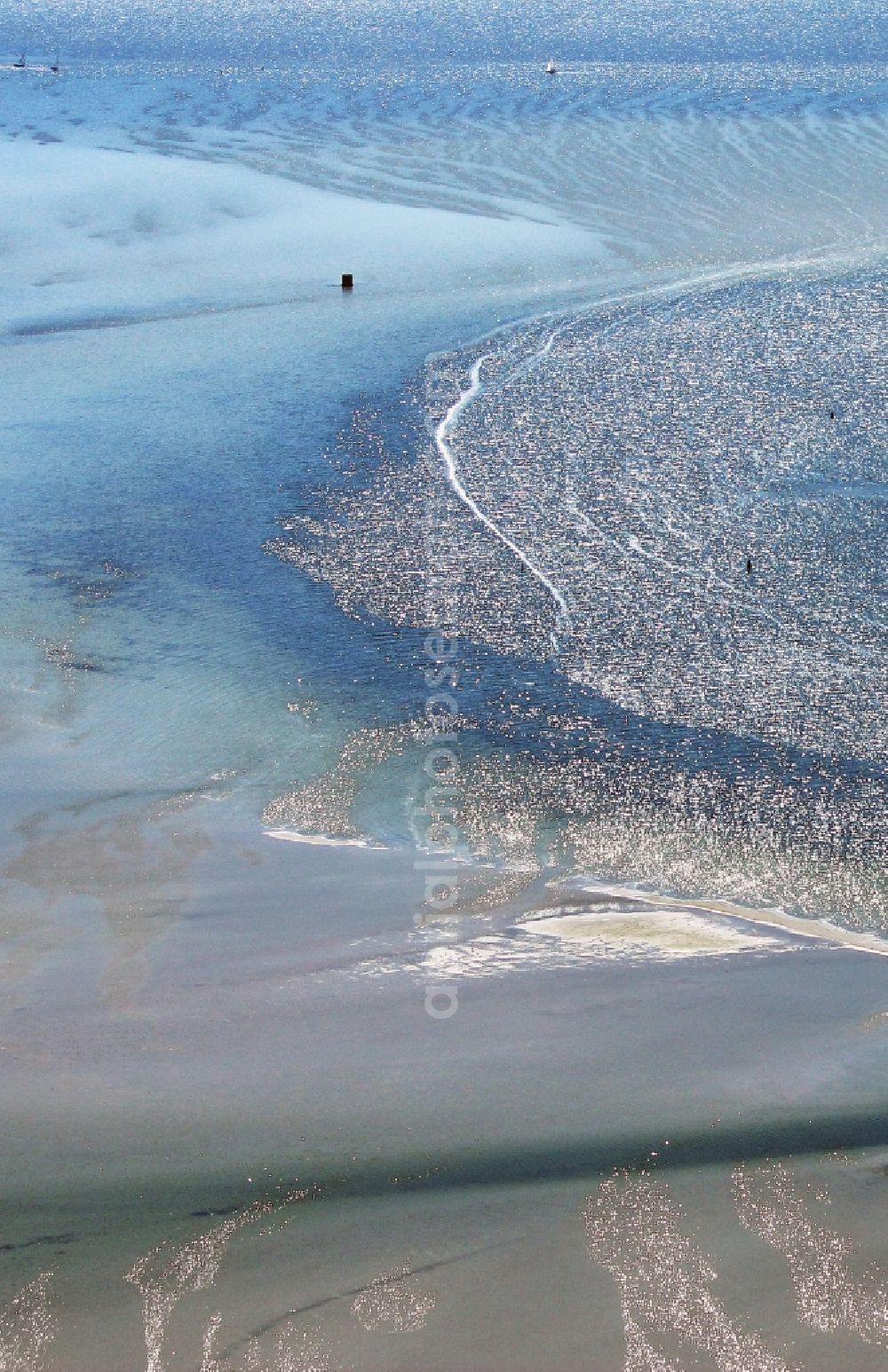
Sandbank- land area by flow under the sea water surface the Baltic Sea by Loissin in the state Mecklenburg - Western Pomerania. Photo: Reinhard v. Wegerer
Aerial image ID: 314937
Image resolution: 2362 x 3652 pixels x 24 bit
compressed image file size: 2,82 MB
Image file size: 24,68 MB
Sources and credit: © euroluftbild.de/Reinhard v. Wegerer
Medien- Lizenzen gemäß MFM - Luftbildaufschlag: 100%
Position: 54° 7' 54.05'' N / 13° 27' 36.5'' E