Aerial Photo Database
Fulltext
  • Fulltext
  • Place

Search for place, image id, term(s)

Only search for place

Aerial image 504056
Riparian areas and flooded flood meadows due to a river bed leading to flood levels of Unteren Havel in Havelberg in the state Saxony-Anhalt, Germany

HAVELBERG 20.06.2013
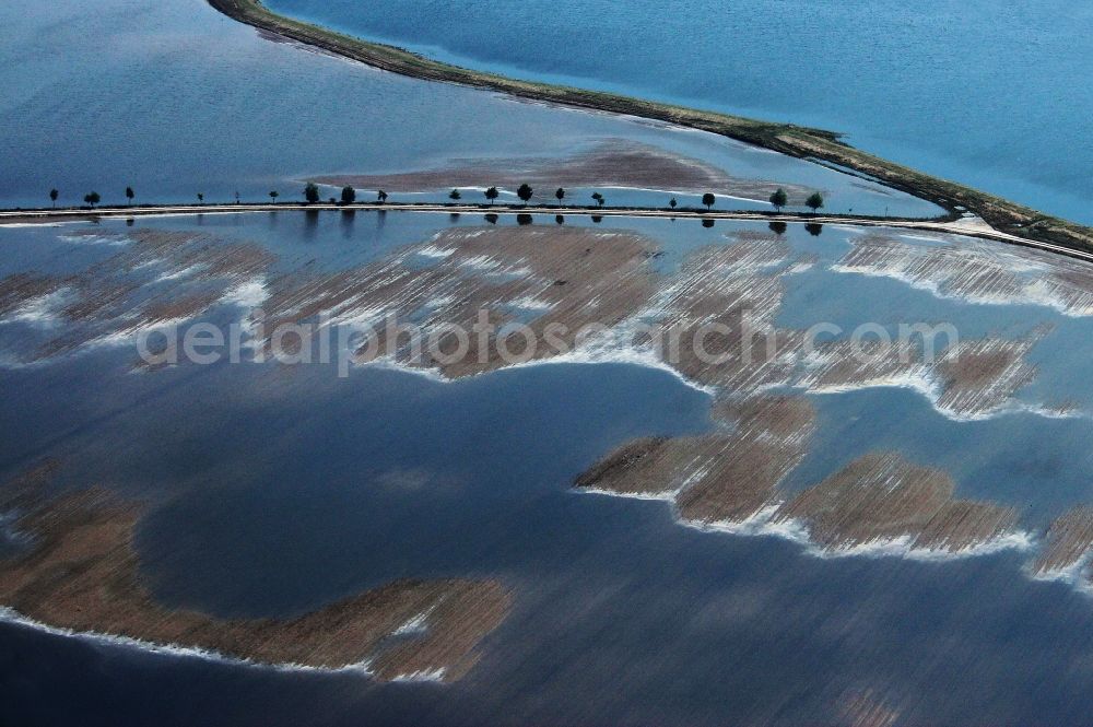
Aerial image Havelberg - Riparian areas and flooded flood meadows due to a river bed leading to flood levels of Unteren Havel in Havelberg in the state Saxony-Anhalt, Germany
Thematically related aerial photos
https://www.aerialphotosearch.com/info/aerial-photos/riparian-areas-flooded-flood-meadows-due-river-bed-leading-flood-levels-unteren-havel-havelberg-state-saxony-anhalt-germany-504056.html https://www.aerialphotosearch.com/info/aerial-photos/riparian-areas-flooded-flood-meadows-due-river-bed-leading-flood-levels-unteren-havel-havelberg-state-saxony-anhalt-germany-504056.html

Riparian areas and flooded flood meadows due to a river bed leading to flood levels of Unteren Havel in Havelberg in the state Saxony-Anhalt, Germany. Photo: Reinhard v. Wegerer

Aerial image ID: 504056
Image resolution: 3704 x 2464 pixels x 24 bit
compressed image file size: 4,65 MB
Image file size: 26,11 MB
Sources and credit: © euroluftbild.de/Reinhard v. Wegerer

Medien- Lizenzen gemäß MFM - Luftbildaufschlag: 100%