Aerial image 553850
Riparian areas and flooded flood meadows due to a river bed leading to flood levels Ochtum on street Hoveweg (Mittelshuchting) in the district Mittelshuchting in Bremen, Germany
BREMEN 01.06.2020
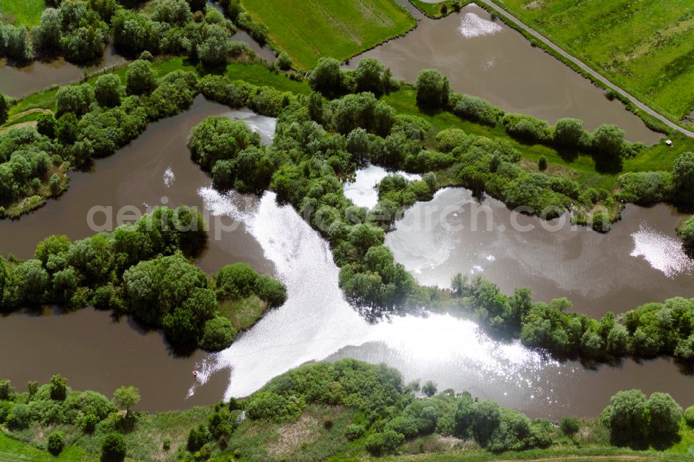
Riparian areas and flooded flood meadows due to a river bed leading to flood levels Ochtum on street Hoveweg (Mittelshuchting) in the district Mittelshuchting in Bremen, Germany. Photo: Gerhard Launer
Aerial image ID: 553850
Image resolution: 8256 x 5504 pixels x 24 bit
compressed image file size: 36,39 MB
Image file size: 130,01 MB
Sources and credit: © euroluftbild.de/Gerhard Launer
The recording is permitted due to the so-called freedom of panorama according to § 59 UrhG. The provision of Section 59 UrhG conforms to the directive based on Art. 5 Para. 3 Letter c of Directive 2001/29/EC of the European Parliament and of the Council of May 22, 2001 on the harmonization of certain aspects of copyright and related property rights in the information society ("InfoSoc-RL") to be interpreted. The directive-compliant interpretation shows that aerial photographs are also covered by § 59 Para. 1 UrhG and the use of tools does not lead out of the protective barrier. www.klebba.legal
Position: 53° 4' 4.21'' N / 8° 44' 37.43'' E