Aerial image 201776
Residential area south Stolpe, a district of Hohen Neuendorf in Brandenburg
HOHEN NEUENDORF / OT STOLPE 30.04.2014
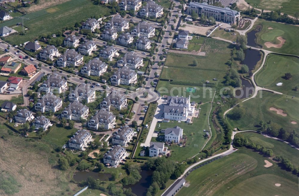
Residential area south Stolpe, a district of Hohen Neuendorf in Brandenburg. Photo: Bernd Clemens
Aerial image ID: 201776
Image resolution: 4944 x 3248 pixels x 24 bit
compressed image file size: 5,1 MB
Image file size: 45,94 MB
Sources and credit: © euroluftbild.de/Bernd Clemens
The recording is permitted due to the so-called freedom of panorama according to § 59 UrhG. The provision of Section 59 UrhG conforms to the directive based on Art. 5 Para. 3 Letter c of Directive 2001/29/EC of the European Parliament and of the Council of May 22, 2001 on the harmonization of certain aspects of copyright and related property rights in the information society ("InfoSoc-RL") to be interpreted. The directive-compliant interpretation shows that aerial photographs are also covered by § 59 Para. 1 UrhG and the use of tools does not lead out of the protective barrier. www.klebba.legal
Position: 52° 39' 15.43'' N / 13° 15' 19.72'' E