Aerial image 362118
Port facilities on the seashore of the Andaman sea in Tambon Phru Nai in Chang Wat Phang-nga, Thailand
TAMBON PHRU NAI 28.08.2013
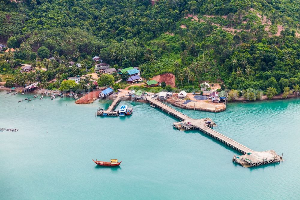
Port facilities on the seashore of the Andaman sea in Tambon Phru Nai in Chang Wat Phang-nga, Thailand. Photo: Mario Hagen
Aerial image ID: 362118
Image resolution: 5616 x 3744 pixels x 24 bit
compressed image file size: 16,89 MB
Image file size: 60,16 MB
Sources and credit: © euroluftbild.de/Mario Hagen
The recording is permitted due to the so-called freedom of panorama according to § 59 UrhG. The provision of Section 59 UrhG conforms to the directive based on Art. 5 Para. 3 Letter c of Directive 2001/29/EC of the European Parliament and of the Council of May 22, 2001 on the harmonization of certain aspects of copyright and related property rights in the information society ("InfoSoc-RL") to be interpreted. The directive-compliant interpretation shows that aerial photographs are also covered by § 59 Para. 1 UrhG and the use of tools does not lead out of the protective barrier. www.klebba.legal
Position: 7° 59' 28.52'' N / 98° 34' 12.53'' E