Aerial photograph 191909
Planning and development area with undeveloped land along the Alexan der Meissner Altglienicke street in the district of Treptow-Köpenick
BERLIN TREPTOW-KöPENICK 18.10.2013
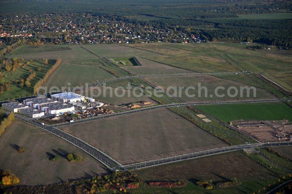
Planning and development area with undeveloped land along the Alexan der Meissner Altglienicke street in the district of Treptow-Köpenick.
Aerial image ID: 191909
Image resolution: 7360 x 4912 pixels x 24 bit
compressed image file size: 6,34 MB
Image file size: 103,43 MB
Sources and credit: © euroluftbild.de/Robert Grahn
The recording is permitted due to the so-called freedom of panorama according to § 59 UrhG. The provision of Section 59 UrhG conforms to the directive based on Art. 5 Para. 3 Letter c of Directive 2001/29/EC of the European Parliament and of the Council of May 22, 2001 on the harmonization of certain aspects of copyright and related property rights in the information society ("InfoSoc-RL") to be interpreted. The directive-compliant interpretation shows that aerial photographs are also covered by § 59 Para. 1 UrhG and the use of tools does not lead out of the protective barrier. www.klebba.legal
Position: 52° 23' 7.77'' N / 13° 31' 55.12'' E