Aerial photograph 220135
Landscape with different fields and arable land along the Bundesstrasse B 9 with access to municipality Ludwigshoehe in Rhineland-Palatinate
LUDWIGSHöHE 08.04.2007
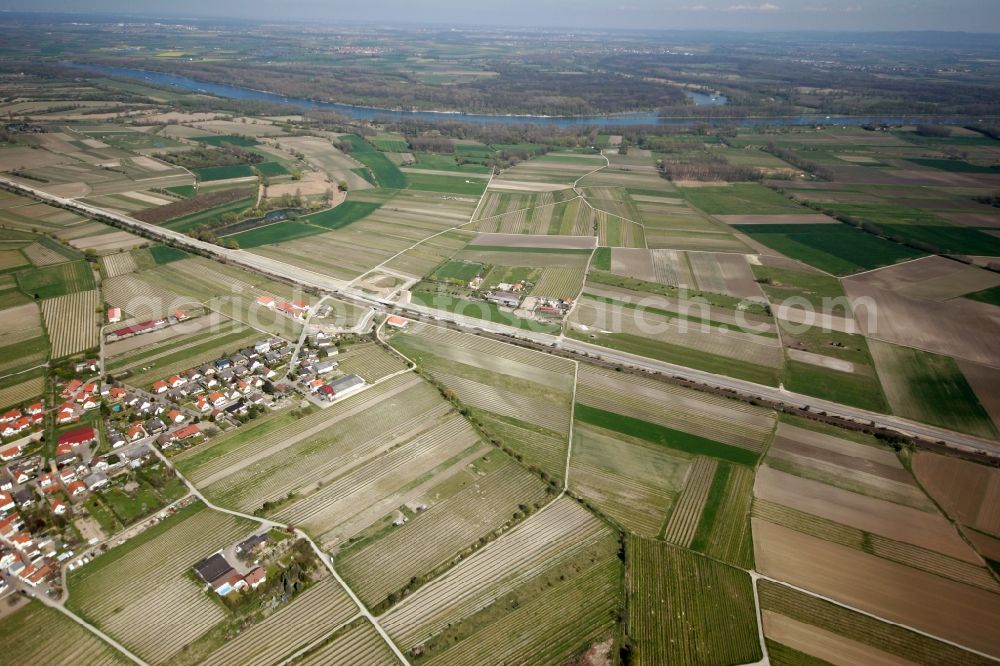
Landscape with different fields and arable land along the Bundesstrasse B 9 with access to municipality Ludwigshoehe in Rhineland-Palatinate. Photo: Alfons Rath
Aerial image ID: 220135
Image resolution: 3504 x 2336 pixels x 24 bit
compressed image file size: 5,72 MB
Image file size: 23,42 MB
Sources and credit: © euroluftbild.de/Alfons Rath
All information gathered here in picture and word represent a non-binding information offer to you, which was compiled from trustworthy media. Objections or correction notes please to info@euroluftbild.de - Media licenses according to MfM table!
Position: 49° 48' 58.55'' N / 8° 21' 1.68'' E