Aerial image 219700
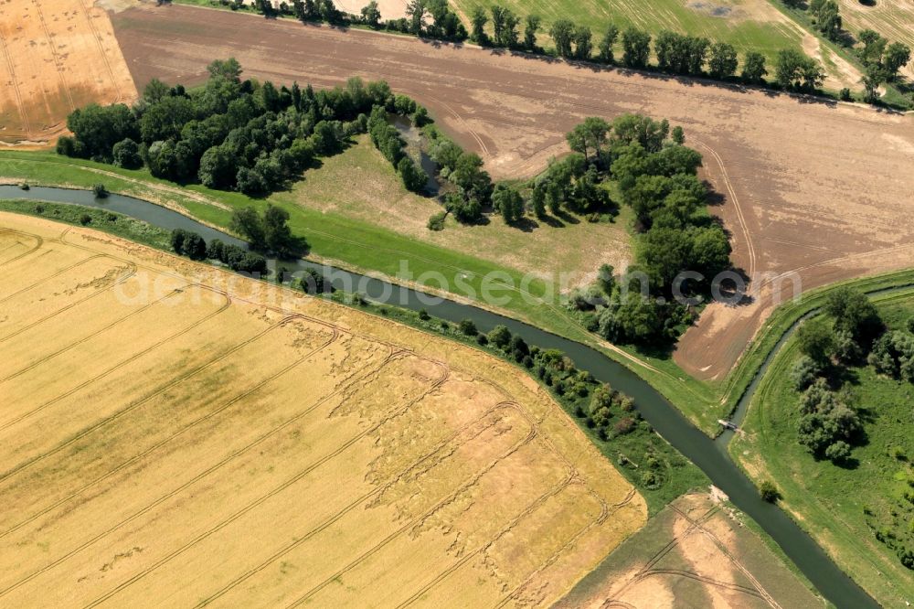
In Gebesee in Thuringia Unstrut flows straightened as in a channel. The curved rows of trees standing on the shore of the backwaters. Here the former course of the river is still clearly visible. The straightening has adverse effects on flood protection. Here stood by the last flood the surrounding fields under water
GEBESEE 01.07.2013

In Gebesee in Thuringia Unstrut flows straightened as in a channel. The curved rows of trees standing on the shore of the backwaters. Here the former course of the river is still clearly visible. The straightening has adverse effects on flood protection. Here stood by the last flood the surrounding fields under water. Photo: Karina Hessland
Aerial image ID: 219700
Image resolution: 4896 x 3264 pixels x 24 bit
compressed image file size: 7,01 MB
Image file size: 45,72 MB
Sources and credit: © euroluftbild.de/Karina Hessland
All information gathered here in picture and word represent a non-binding information offer to you, which was compiled from trustworthy media. Objections or correction notes please to info@euroluftbild.de - Media licenses according to MfM table!
Position: 51° 8' 0.13'' N / 10° 56' 24.23'' E
