Aerial photograph 328455
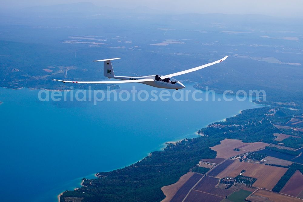
Glider Duo Discus D-6844 in flight over the Lac de Stainte Croix at Sainte-Croix-du-Verdon in the Provence-Alpes-Cote d'Azur, France. This aircraft is used for training in many flight clubs, but it is also suitable for performance flights and competitions. The damming up of the river Verdon took place from 1973, which was completed since 1971 in building Sainte-Croix dam in 1974. The reservoir is about 21.8 kmA? with a maximum depth of about 90 meters and up to 761 million cubic meters of water. It is the second largest lake in France after the Lac de Serre-Poncon
SAINTE-CROIX-DU-VERDON 04.07.2016

Glider Duo Discus D-6844 in flight over the Lac de Stainte Croix at Sainte-Croix-du-Verdon in the Provence-Alpes-Cote d'Azur, France. This aircraft is used for training in many flight clubs, but it is also suitable for performance flights and competitions. The damming up of the river Verdon took place from 1973, which was completed since 1971 in building Sainte-Croix dam in 1974. The reservoir is about 21.8 kmA? with a maximum depth of about 90 meters and up to 761 million cubic meters of water. It is the second largest lake in France after the Lac de Serre-Poncon. www.schempp-hirth.com Photo: Tobias Barth
Aerial image ID: 328455
Image resolution: 4096 x 2731 pixels x 24 bit
compressed image file size: 6,75 MB
Image file size: 32 MB
Sources and credit: © euroluftbild.de/Tobias Barth
The recording is permitted due to the so-called freedom of panorama according to § 59 UrhG. The provision of Section 59 UrhG conforms to the directive based on Art. 5 Para. 3 Letter c of Directive 2001/29/EC of the European Parliament and of the Council of May 22, 2001 on the harmonization of certain aspects of copyright and related property rights in the information society ("InfoSoc-RL") to be interpreted. The directive-compliant interpretation shows that aerial photographs are also covered by § 59 Para. 1 UrhG and the use of tools does not lead out of the protective barrier. www.klebba.legal
Position: 43° 45' 42.36'' N / 6° 9' 11.73'' E
