Aerial image 142630
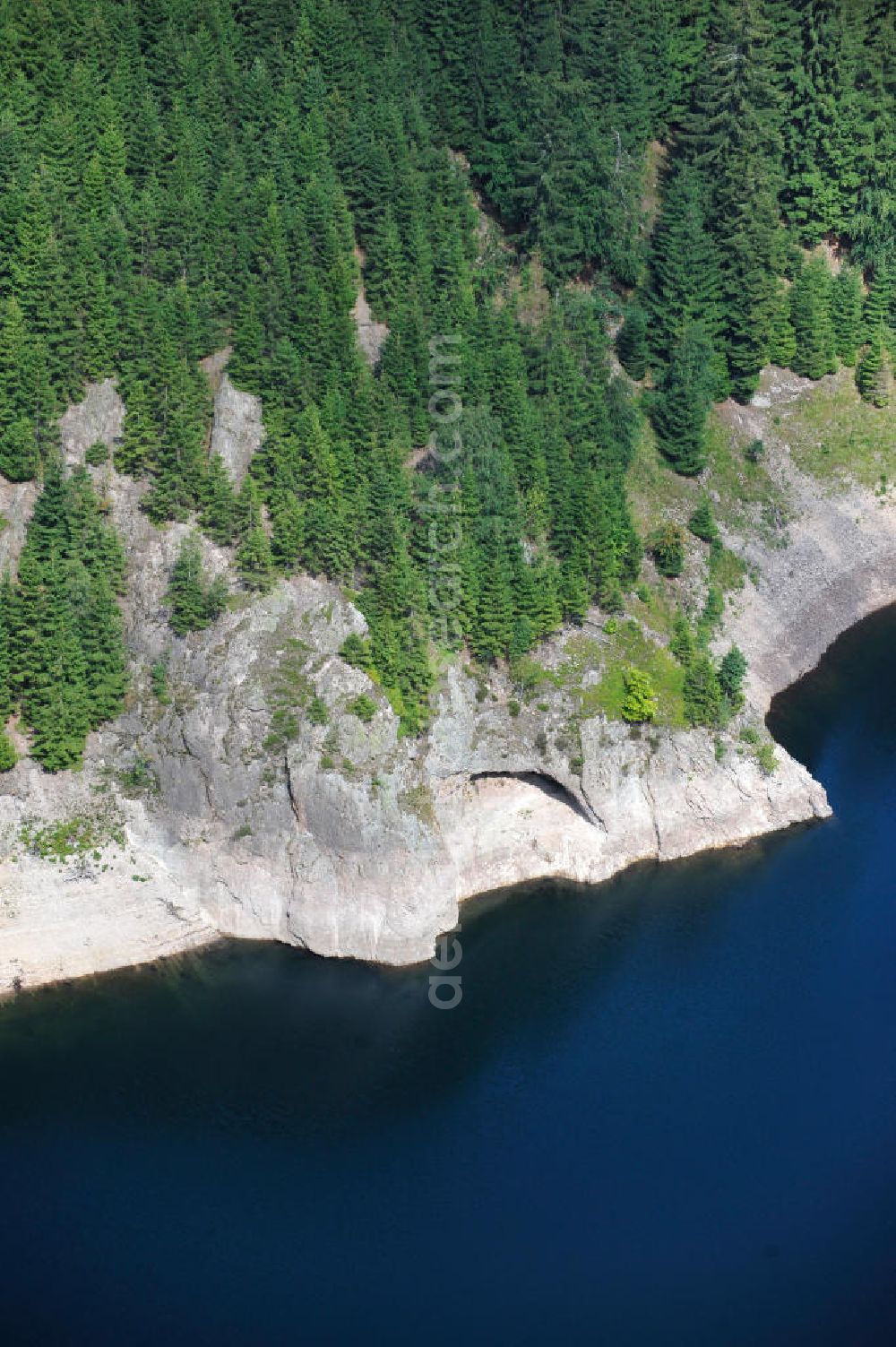
Die Talsperre Schmalwasser bei Tambach-Dietharz im Landkreis Gotha im Thüringer Wald dient der Trinkwasserbereitstellung, dem Hochwasserschutz und der Stromerzeugung. The barrage "Schmalwassertalsperre" near by Tambach-Dietharz in Thuringia.
TAMBACH-DIETHARZ 02.08.2011
Aerial image ID: 142630
Image resolution: 2832 x 4256 pixels x 24 bit
compressed image file size: 4,21 MB
Image file size: 34,48 MB
Sources and credit: © euroluftbild.de/Robert Grahn
The recording is permitted due to the so-called freedom of panorama according to § 59 UrhG. The provision of Section 59 UrhG conforms to the directive based on Art. 5 Para. 3 Letter c of Directive 2001/29/EC of the European Parliament and of the Council of May 22, 2001 on the harmonization of certain aspects of copyright and related property rights in the information society ("InfoSoc-RL") to be interpreted. The directive-compliant interpretation shows that aerial photographs are also covered by § 59 Para. 1 UrhG and the use of tools does not lead out of the protective barrier. www.klebba.legal