Aerial image 98316
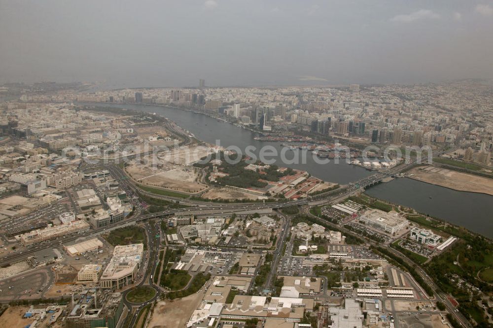
Die Al Maktoum Brück führt über den Dubai Creek. Der Dubai Creek ist ein natürlicher Meeresraum des Perischen Golfes, welcher die Stadt Dubai in die Stadtteile Bur Dubai und Deira teilt. Er ist 14 Kilometer lang und hat eine Breite von 115 Metern an der Mündung bis zu 1400 Metern an seinem Ende. Der Creek war einst das Zentrum der Stadt und der wichtigste Hafen. Die Al Maktoum Bridge ist eine von fünf Brücken über den Dubai Creek und die erste, die gebaut wurde. Sie wurde 1963 eröffnet.
DUBAI 08.03.2005

Photo: Blossey
Aerial image ID: 98316
Image resolution: 5418 x 3605 pixels x 24 bit
compressed image file size: 5,31 MB
Image file size: 55,88 MB
Sources and credit: © euroluftbild.de/Hans Blossey
The recording is permitted due to the so-called freedom of panorama according to § 59 UrhG. The provision of Section 59 UrhG conforms to the directive based on Art. 5 Para. 3 Letter c of Directive 2001/29/EC of the European Parliament and of the Council of May 22, 2001 on the harmonization of certain aspects of copyright and related property rights in the information society ("InfoSoc-RL") to be interpreted. The directive-compliant interpretation shows that aerial photographs are also covered by § 59 Para. 1 UrhG and the use of tools does not lead out of the protective barrier. www.klebba.legal
