Aerial image 71538
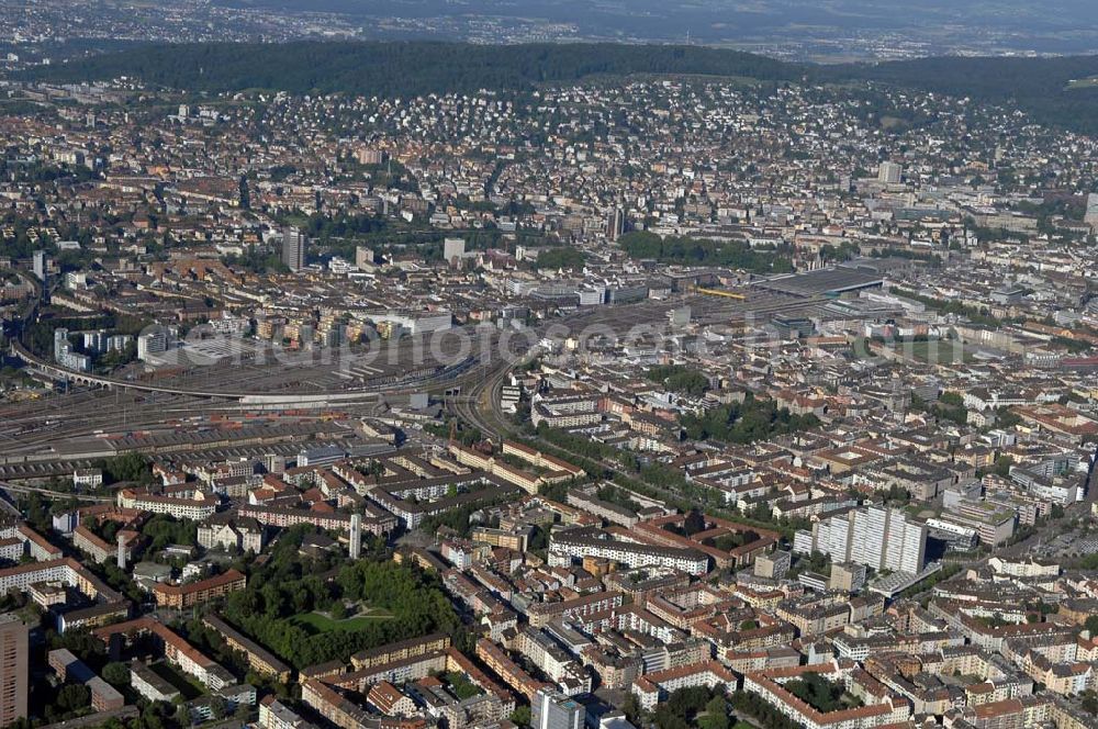
Die Altstadt umfasst das Gebiet der bis 1893 existierenden, ursprünglichen Stadt Zürich und bildet den heutigen Kreis 1. Zu sehen ist weiterhin die Bahnstrecke zum Hauptbahnhof.
ZüRICH 15.07.2007
Aerial image ID: 71538
Image resolution: 4288 x 2848 pixels x 24 bit
compressed image file size: 4,8 MB
Image file size: 34,94 MB
Sources and credit: © euroluftbild.de/Robert Grahn
The recording is permitted due to the so-called freedom of panorama according to § 59 UrhG. The provision of Section 59 UrhG conforms to the directive based on Art. 5 Para. 3 Letter c of Directive 2001/29/EC of the European Parliament and of the Council of May 22, 2001 on the harmonization of certain aspects of copyright and related property rights in the information society ("InfoSoc-RL") to be interpreted. The directive-compliant interpretation shows that aerial photographs are also covered by § 59 Para. 1 UrhG and the use of tools does not lead out of the protective barrier. www.klebba.legal