Aerial photograph 648425
Deserts and steppe landscape " Garissa County " on street Wajir - Moyale Road in Buna in Wajir County, Kenya
BUNA 14.09.2024
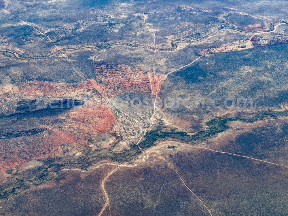
Deserts and steppe landscape " Garissa County " on street Wajir - Moyale Road in Buna in Wajir County, Kenya. Photo: Mario Hagen
Aerial image ID: 648425
Image resolution: 4032 x 3024 pixels x 24 bit
compressed image file size: 11,34 MB
Image file size: 34,88 MB
Sources and credit: © euroluftbild.de/Mario Hagen
The recording is permitted due to the so-called freedom of panorama according to § 59 UrhG. The provision of Section 59 UrhG conforms to the directive based on Art. 5 Para. 3 Letter c of Directive 2001/29/EC of the European Parliament and of the Council of May 22, 2001 on the harmonization of certain aspects of copyright and related property rights in the information society ("InfoSoc-RL") to be interpreted. The directive-compliant interpretation shows that aerial photographs are also covered by § 59 Para. 1 UrhG and the use of tools does not lead out of the protective barrier. www.klebba.legal
Position: 2° 47' 28.27'' N / 39° 30' 3.47'' E