Aerial image 190202
Demolition area / plan area of ??the former mill buildings at the factory road in the industrial area in North Hennigsdorf in Brandenburg
HENNIGSDORF 13.10.2013
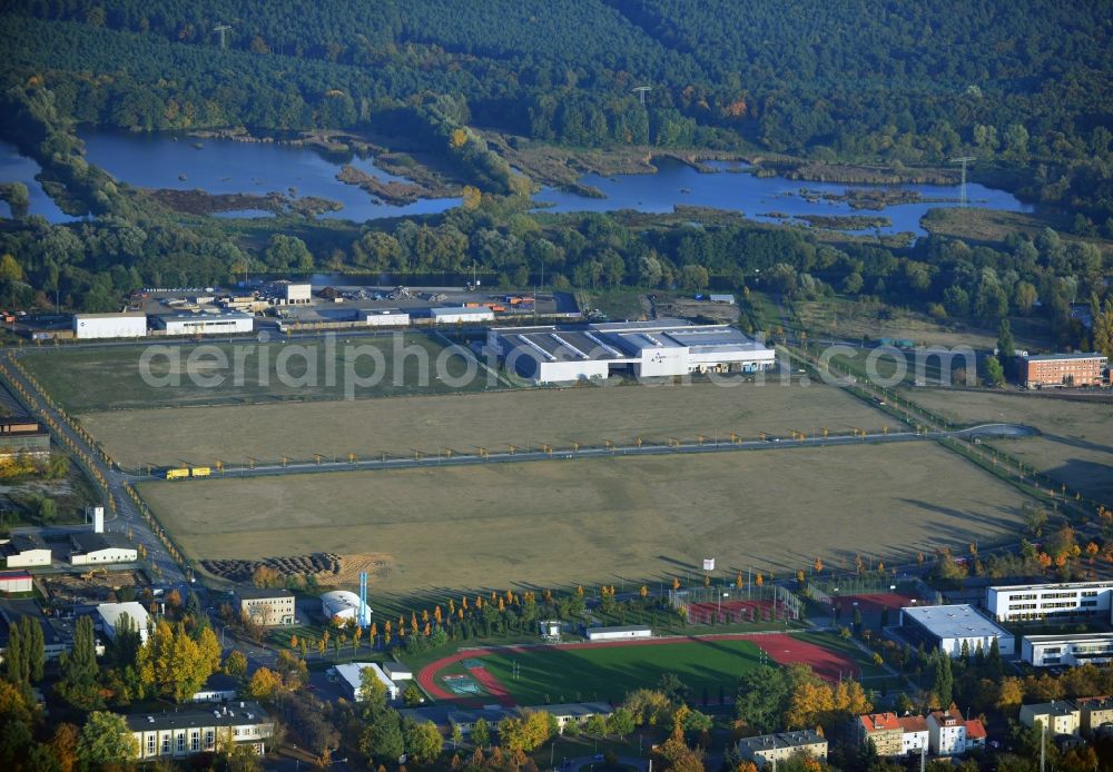
Demolition area / plan area of ??the former mill buildings at the factory road in the industrial area in North Hennigsdorf in Brandenburg. www.gki-hennigsdorf.de
Aerial image ID: 190202
Image resolution: 7072 x 4912 pixels x 24 bit
compressed image file size: 8,8 MB
Image file size: 99,39 MB
Sources and credit: © euroluftbild.de/Robert Grahn
The recording is permitted due to the so-called freedom of panorama according to § 59 UrhG. The provision of Section 59 UrhG conforms to the directive based on Art. 5 Para. 3 Letter c of Directive 2001/29/EC of the European Parliament and of the Council of May 22, 2001 on the harmonization of certain aspects of copyright and related property rights in the information society ("InfoSoc-RL") to be interpreted. The directive-compliant interpretation shows that aerial photographs are also covered by § 59 Para. 1 UrhG and the use of tools does not lead out of the protective barrier. www.klebba.legal
Position: 52° 39' 2.3'' N / 13° 11' 5.11'' E