Aerial image 310960
Curved loop of the riparian zones on the course of the river La Chiers in Tetaigne in Grand Est, France
TéTAIGNE 16.04.2011
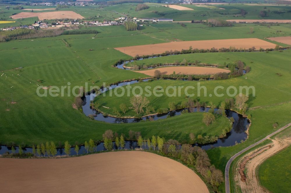
Curved loop of the riparian zones on the course of the river La Chiers in Tetaigne in Grand Est, France. Photo: Werner Riehm
Aerial image ID: 310960
Image resolution: 4039 x 2693 pixels x 24 bit
compressed image file size: 2,59 MB
Image file size: 31,12 MB
Sources and credit: © euroluftbild.de/Werner Riehm
All information gathered here in picture and word represent a non-binding information offer to you, which was compiled from trustworthy media. Objections or correction notes please to info@euroluftbild.de - Media licenses according to MfM table!
Position: 49° 39' 37.16'' N / 5° 6' 49.34'' E