Aerial photograph 298393
Curved loop of the riparian zones on the course of the river La Chiers in Carignan in Alsace-Champagne-Ardenne-Lorraine, France
CARIGNAN 16.04.2011
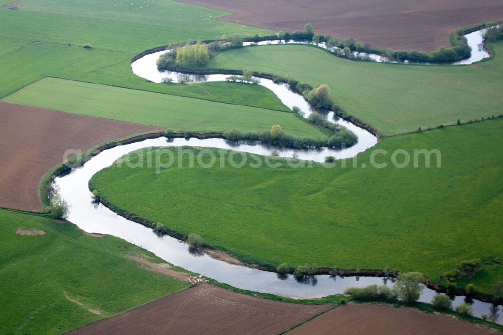
Curved loop of the riparian zones on the course of the river La Chiers in Carignan in Alsace-Champagne-Ardenne-Lorraine, France. Photo: Werner Riehm
Aerial image ID: 298393
Image resolution: 4060 x 2707 pixels x 24 bit
compressed image file size: 2,34 MB
Image file size: 31,44 MB
Sources and credit: © euroluftbild.de/Werner Riehm
All information gathered here in picture and word represent a non-binding information offer to you, which was compiled from trustworthy media. Objections or correction notes please to info@euroluftbild.de - Media licenses according to MfM table!
Position: 49° 37' 35.27'' N / 5° 9' 27.55'' E