Aerial photograph 86791
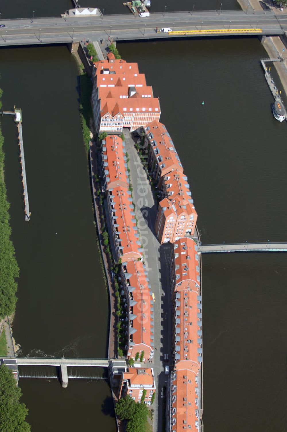
Blick auf das Wohnviertel auf der Halbinsel Teerhof im Stadtteil Neustadt in Bremen. Die Halbinsel verdankt ihren Namen einem sich dort angesiedelten Teerhaus im 15. Jahrhundert. Im 19. Jahrhundert wurde der Teerhof vollständig von Packhäusern besiedelt, die im Zweiten Weltkrieg zerstört wurden. Erst in den 1990er Jahren begann die erneute Bebauung des Gebiets mit Gebäuden im alten Stil der Packhäuser. Mit auf dem Bild zu sehen ist die Bürgermeister - Smidt - Brücke über die Weser.
BREMEN 30.06.2008

Aerial image ID: 86791
Image resolution: 2848 x 4288 pixels x 24 bit
compressed image file size: 2,49 MB
Image file size: 34,94 MB
Sources and credit: © euroluftbild.de/Robert Grahn
The recording is permitted due to the so-called freedom of panorama according to § 59 UrhG. The provision of Section 59 UrhG conforms to the directive based on Art. 5 Para. 3 Letter c of Directive 2001/29/EC of the European Parliament and of the Council of May 22, 2001 on the harmonization of certain aspects of copyright and related property rights in the information society ("InfoSoc-RL") to be interpreted. The directive-compliant interpretation shows that aerial photographs are also covered by § 59 Para. 1 UrhG and the use of tools does not lead out of the protective barrier. www.klebba.legal
