Aerial photograph 77857
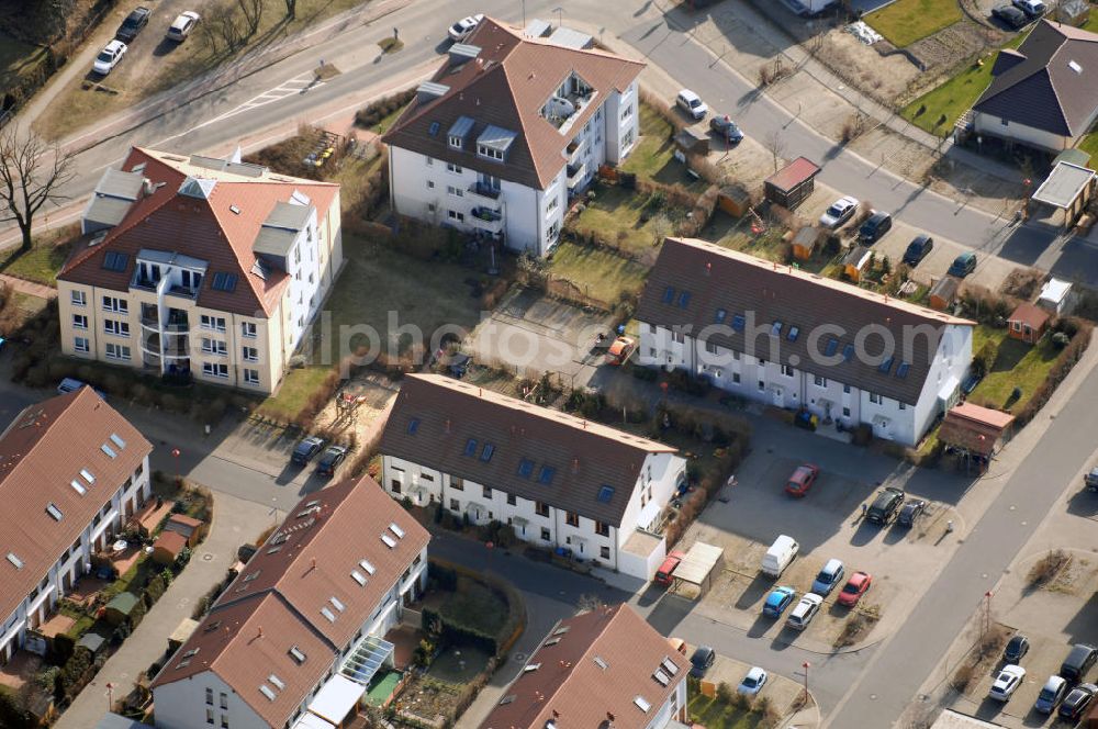
Blick auf das Wohngebiet am Schmetterlingsring in Stahnsdorf. Die Gemeinde Stahnsdorf liegt im Landkreis Potsdam-Mittelmark. Stahnsdorf wurde erstmals im Jahr 1264 urkundlich erwähnt und bestand ursprünglich nur aus dem alten Dorfkern an einer damals wichtigen Verbindungsstraße von Sachsen nach Spandau. Zu 14532 Stahnsdorf gehören die Ortsteile Güterfelde mit Ortsteil Kienwerder, Schenkenhorst, Sputendorf und im PLZ-Bereich Fahlhorst, Kleinmachnow, Philippsthal und Nudow.
STAHNSDORF 16.02.2008
Aerial image ID: 77857
Image resolution: 4288 x 2848 pixels x 24 bit
compressed image file size: 2,98 MB
Image file size: 34,94 MB
Sources and credit: © euroluftbild.de/Robert Grahn
The recording is permitted due to the so-called freedom of panorama according to § 59 UrhG. The provision of Section 59 UrhG conforms to the directive based on Art. 5 Para. 3 Letter c of Directive 2001/29/EC of the European Parliament and of the Council of May 22, 2001 on the harmonization of certain aspects of copyright and related property rights in the information society ("InfoSoc-RL") to be interpreted. The directive-compliant interpretation shows that aerial photographs are also covered by § 59 Para. 1 UrhG and the use of tools does not lead out of the protective barrier. www.klebba.legal