Aerial image 104074
Blick auf Spargelanbaugebiet, entwickelte sich nach der Wende wieder zu einem der größten Anbaugebiete Deutschlands
BEELITZ / BRANDENBURG 26.04.2007
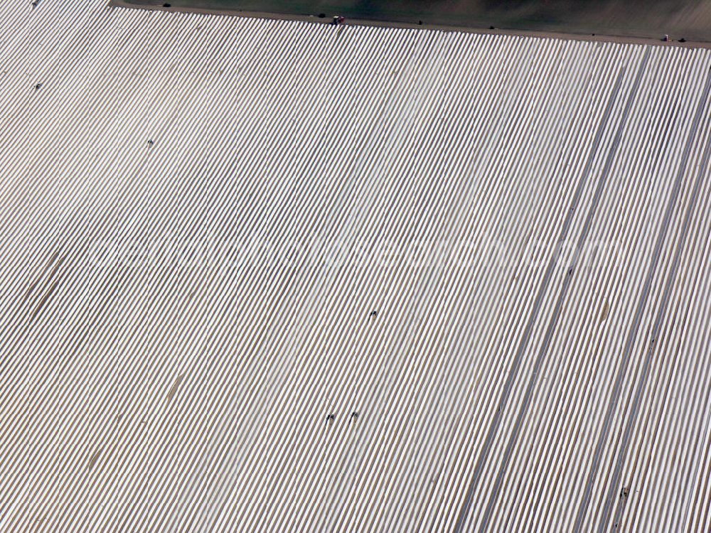
Photo: Bernd Clemens
Aerial image ID: 104074
Image resolution: 3264 x 2448 pixels x 24 bit
compressed image file size: 3,79 MB
Image file size: 22,86 MB
Sources and credit: © euroluftbild.de/Bernd Clemens
The recording is permitted due to the so-called freedom of panorama according to § 59 UrhG. The provision of Section 59 UrhG conforms to the directive based on Art. 5 Para. 3 Letter c of Directive 2001/29/EC of the European Parliament and of the Council of May 22, 2001 on the harmonization of certain aspects of copyright and related property rights in the information society ("InfoSoc-RL") to be interpreted. The directive-compliant interpretation shows that aerial photographs are also covered by § 59 Para. 1 UrhG and the use of tools does not lead out of the protective barrier. www.klebba.legal