Aerial Photo Database
Fulltext
  • Fulltext
  • Place

Search for place, image id, term(s)

Only search for place

Aerial photograph 127805
Blick auf landwirtschaftliche Nutzfläche von der Ortsgemeinde Dromersheim im Landkreis Mainz-Bingen in Rheinland-Pfalz. View to agriculture productive land of Dromersheim.

DROMERSHEIM 20.06.2005
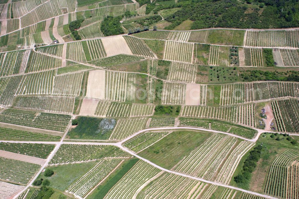
Aerial photograph Dromersheim - Blick auf landwirtschaftliche Nutzfläche von der Ortsgemeinde Dromersheim im Landkreis Mainz-Bingen in Rheinland-Pfalz. View to agriculture productive land of Dromersheim.
Thematically related aerial photos
https://www.aerialphotosearch.com/info/aerial-photos/blick-landwirtschaftliche-nutzflche-ortsgemeinde-dromersheim-landkreis-mainz-bingen-rheinland-pfalz-view-agriculture-productive-land-dromersheim-127805.html https://www.aerialphotosearch.com/info/aerial-photos/blick-landwirtschaftliche-nutzflche-ortsgemeinde-dromersheim-landkreis-mainz-bingen-rheinland-pfalz-view-agriculture-productive-land-dromersheim-127805.html

Photo: Alfons Rath

Aerial image ID: 127805
Image resolution: 3504 x 2336 pixels x 24 bit
compressed image file size: 7,83 MB
Image file size: 23,42 MB
Sources and credit: © euroluftbild.de/Alfons Rath

All information gathered here in picture and word represent a non-binding information offer to you, which was compiled from trustworthy media. Objections or correction notes please to info@euroluftbild.de - Media licenses according to MfM table!

Keywords