Aerial image 119990
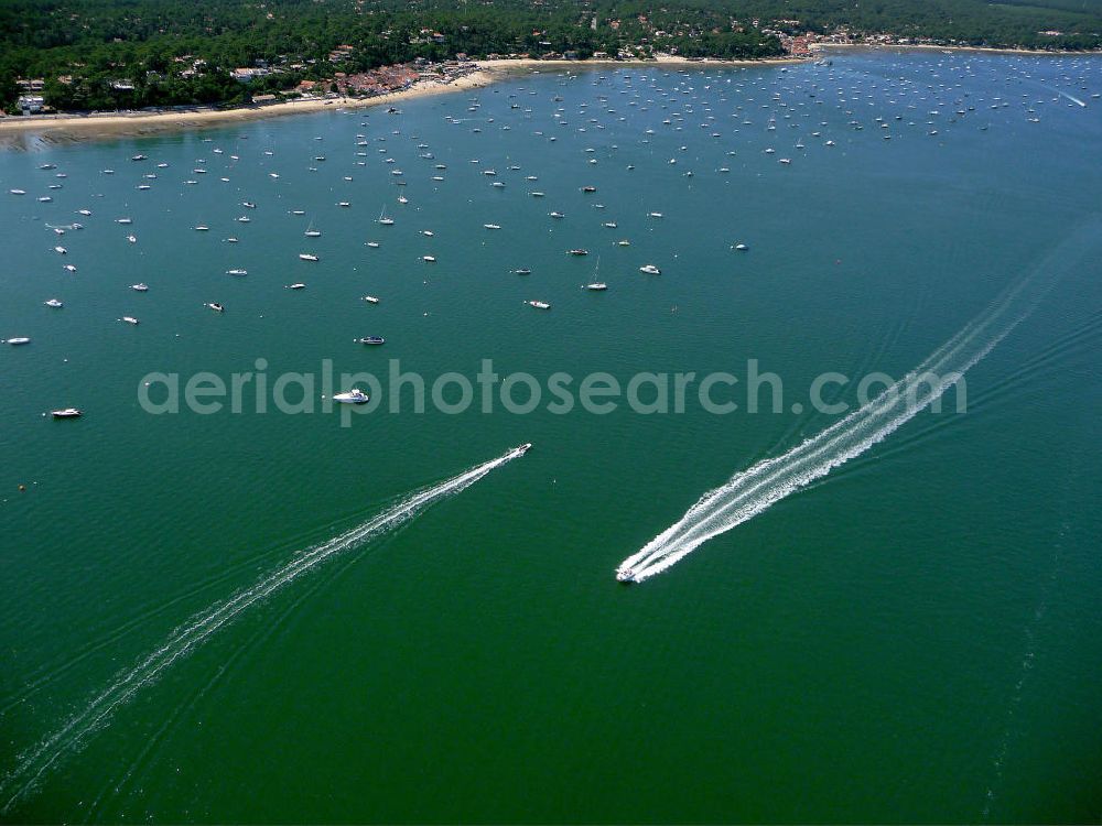
Blick auf die landseitige Küste der Halbinsel Cap Ferret. Die Halbinsel trennt das Becken von Arcachon vom Atlantischen Ozeans. Der Tidenhub (Unterschied zwischen Ebbe und Flut) kann im Becken bis zu 5m betragen. Views of the landward coast of the peninsula of Cap Ferret. The peninsula separates the basin of Arcachon from the Atlantic Ocean. The tidal range (difference between high and low tide) in the bay can reach up to 5m.
ARCACHON 08.07.2008

Photo: Hans Blossey
Aerial image ID: 119990
Image resolution: 3456 x 2592 pixels x 24 bit
compressed image file size: 1,34 MB
Image file size: 25,63 MB
Sources and credit: © euroluftbild.de/Hans Blossey
The recording is permitted due to the so-called freedom of panorama according to § 59 UrhG. The provision of Section 59 UrhG conforms to the directive based on Art. 5 Para. 3 Letter c of Directive 2001/29/EC of the European Parliament and of the Council of May 22, 2001 on the harmonization of certain aspects of copyright and related property rights in the information society ("InfoSoc-RL") to be interpreted. The directive-compliant interpretation shows that aerial photographs are also covered by § 59 Para. 1 UrhG and the use of tools does not lead out of the protective barrier. www.klebba.legal
