Aerial image 151164
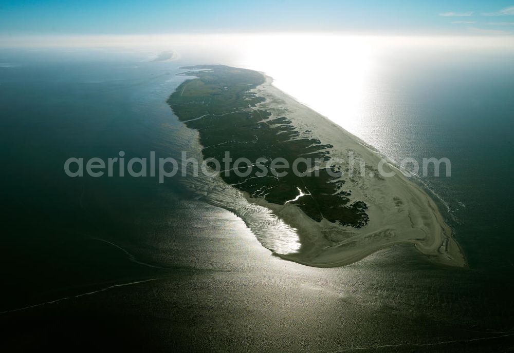
Blick auf die Insel Norderney , eine der Ostfriesischen Inseln im Nordwesten Deutschlands, die dem Festland des Bundeslandes Niedersachsen zwischen der Ems- und Wesermündung in der Deutschen Bucht vorgelagert sind. Mit einer Fläche von 26,29 Quadratkilometern ist Norderney nach Borkum die zweitgrößte Insel dieser Inselgruppe und gehört zum zum Nationalpark Niedersächsisches Wattenmeer. Norderney Island, one of the East Frisian Islands in the north-west Germany
NORDERNEY 02.06.2010
Aerial image ID: 151164
Image resolution: 7205 x 4961 pixels x 24 bit
compressed image file size: 12,31 MB
Image file size: 102,26 MB
Sources and credit: © euroluftbild.de/Gerhard Launer
The recording is permitted due to the so-called freedom of panorama according to § 59 UrhG. The provision of Section 59 UrhG conforms to the directive based on Art. 5 Para. 3 Letter c of Directive 2001/29/EC of the European Parliament and of the Council of May 22, 2001 on the harmonization of certain aspects of copyright and related property rights in the information society ("InfoSoc-RL") to be interpreted. The directive-compliant interpretation shows that aerial photographs are also covered by § 59 Para. 1 UrhG and the use of tools does not lead out of the protective barrier. www.klebba.legal