Aerial photograph 542435
Agricultural land and field boundaries surround the settlement area of the village in Westhausen in the state Thuringia, Germany
WESTHAUSEN 15.06.2019
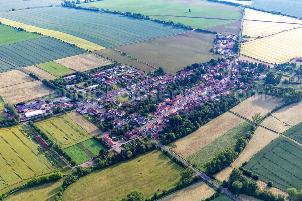
Agricultural land and field boundaries surround the settlement area of the village in Westhausen in the state Thuringia, Germany. www.gemeinde-nessetal.de Photo: Werner Riehm
Aerial image ID: 542435
Image resolution: 5398 x 3599 pixels x 24 bit
compressed image file size: 7,81 MB
Image file size: 55,58 MB
Sources and credit: © euroluftbild.de/Werner Riehm
All information gathered here in picture and word represent a non-binding information offer to you, which was compiled from trustworthy media. Objections or correction notes please to info@euroluftbild.de - Media licenses according to MfM table!
Position: 51° 0' 55.02'' N / 10° 41' 15.04'' E