Aerial image 561506
Agricultural land and field boundaries surround the settlement area of the village on street Obere Bergstrasse in Dobel in the state Baden-Wuerttemberg, Germany
DOBEL 03.12.1959
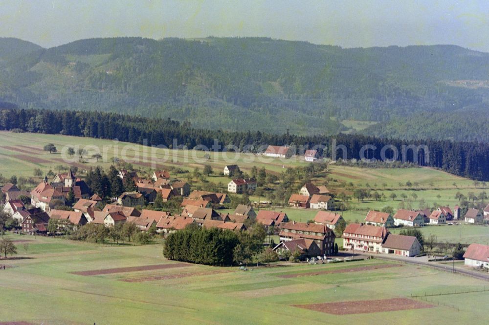
Agricultural land and field boundaries surround the settlement area of the village on street Obere Bergstrasse in Dobel in the state Baden-Wuerttemberg, Germany. Photo: Hugo Moser
Aerial image ID: 561506
Image resolution: 6000 x 4000 pixels x 24 bit
compressed image file size: 32,79 MB
Image file size: 68,66 MB
Sources and credit: © euroluftbild.de/Hugo Moser
All information gathered here in picture and word represent a non-binding information offer to you, which was compiled from trustworthy media. Objections or correction notes please to info@euroluftbild.de - Media licenses according to MfM table!
Position: 48° 47' 41.68'' N / 8° 29' 47.35'' E