Aerial image 524208
Agricultural land and field boundaries surround the settlement area of the village in Langenholthausen in the state North Rhine-Westphalia, Germany
LANGENHOLTHAUSEN 12.11.2021
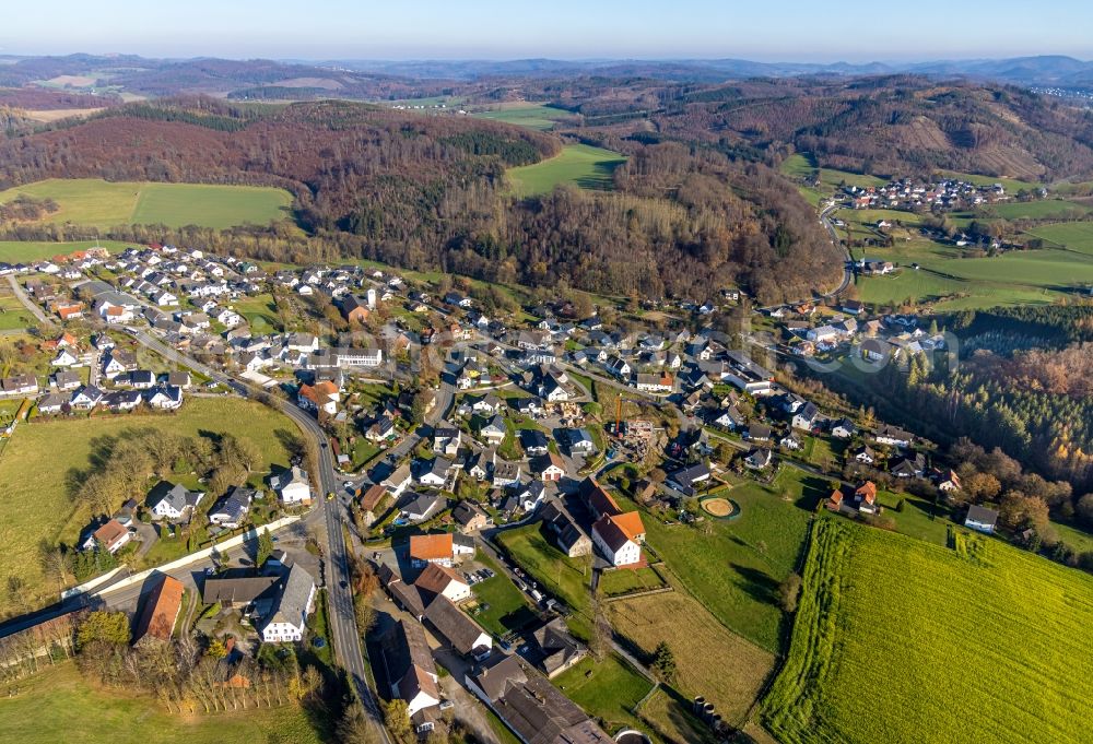
Agricultural land and field boundaries surround the settlement area of the village in Langenholthausen in the state North Rhine-Westphalia, Germany. Photo: Hans Blossey
Aerial image ID: 524208
Image resolution: 8192 x 5591 pixels x 24 bit
compressed image file size: 21,92 MB
Image file size: 131,04 MB
Sources and credit: © euroluftbild.de/Hans Blossey
The recording is permitted due to the so-called freedom of panorama according to § 59 UrhG. The provision of Section 59 UrhG conforms to the directive based on Art. 5 Para. 3 Letter c of Directive 2001/29/EC of the European Parliament and of the Council of May 22, 2001 on the harmonization of certain aspects of copyright and related property rights in the information society ("InfoSoc-RL") to be interpreted. The directive-compliant interpretation shows that aerial photographs are also covered by § 59 Para. 1 UrhG and the use of tools does not lead out of the protective barrier. www.klebba.legal
Position: 51° 18' 42'' N / 7° 52' 42.99'' E