Aerial photograph 578125
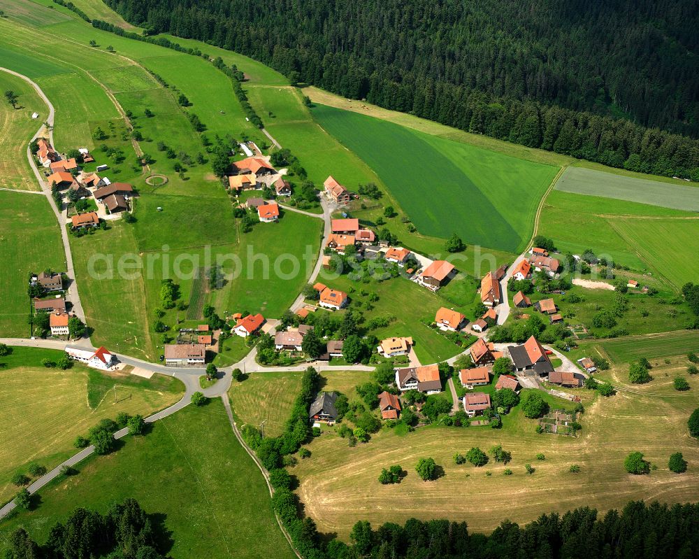
Agricultural land and field boundaries surround the settlement area of the village in Bad Teinach in the state Baden-Wuerttemberg, Germany
BAD TEINACH 06.08.2016
Agricultural land and field boundaries surround the settlement area of the village in Bad Teinach in the state Baden-Wuerttemberg, Germany Photo: Gerhard Launer
Aerial image ID: 578125
Image resolution: 3937 x 3150 pixels x 24 bit
compressed image file size: 19,9 MB
Image file size: 35,48 MB
Sources and credit: © euroluftbild.de/Gerhard Launer
The recording is permitted due to the so-called freedom of panorama according to § 59 UrhG. The provision of Section 59 UrhG conforms to the directive based on Art. 5 Para. 3 Letter c of Directive 2001/29/EC of the European Parliament and of the Council of May 22, 2001 on the harmonization of certain aspects of copyright and related property rights in the information society ("InfoSoc-RL") to be interpreted. The directive-compliant interpretation shows that aerial photographs are also covered by § 59 Para. 1 UrhG and the use of tools does not lead out of the protective barrier. www.klebba.legal
Position: 48° 41' 30.02'' N / 8° 40' 18.32'' E