Aerial photograph 495149
Agricultural fields as planning area and development area Area 3 Ost in Noerten-Hardenberg in the state Lower Saxony, Germany
NöRTEN-HARDENBERG 06.03.2021
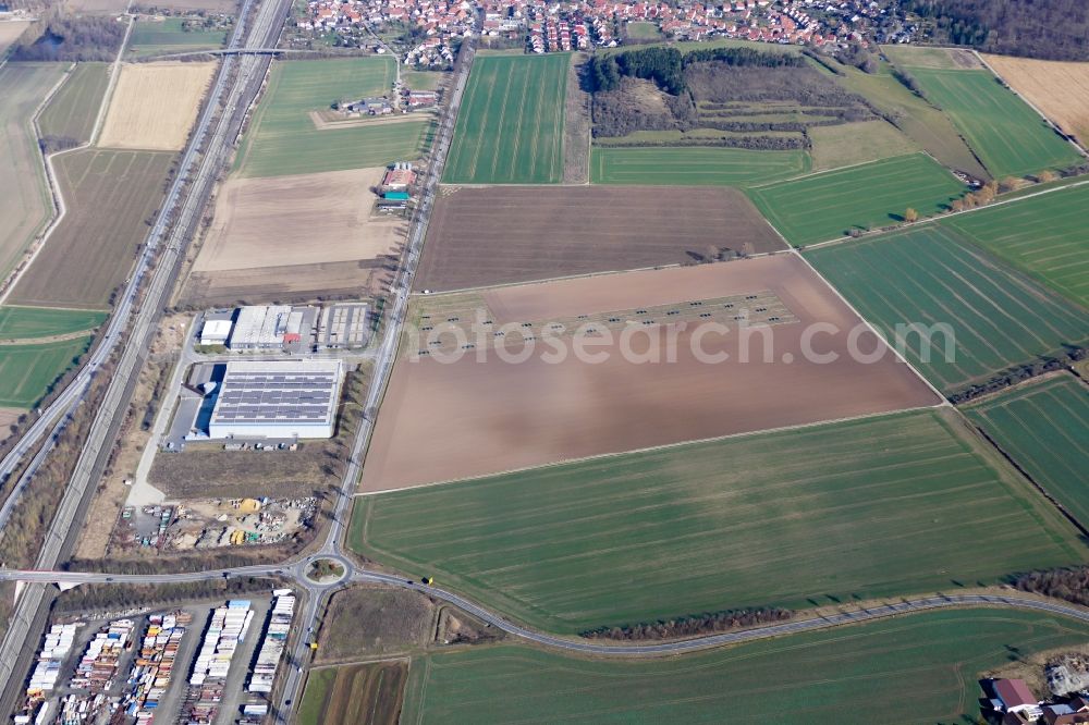
Agricultural fields as planning area and development area Area 3 Ost in Noerten-Hardenberg in the state Lower Saxony, Germany. Photo: Thomas Meder
Aerial image ID: 495149
Image resolution: 5472 x 3648 pixels x 24 bit
compressed image file size: 12,79 MB
Image file size: 57,11 MB
Sources and credit: © euroluftbild.de/Thomas Meder
The recording is permitted due to the so-called freedom of panorama according to § 59 UrhG. The provision of Section 59 UrhG conforms to the directive based on Art. 5 Para. 3 Letter c of Directive 2001/29/EC of the European Parliament and of the Council of May 22, 2001 on the harmonization of certain aspects of copyright and related property rights in the information society ("InfoSoc-RL") to be interpreted. The directive-compliant interpretation shows that aerial photographs are also covered by § 59 Para. 1 UrhG and the use of tools does not lead out of the protective barrier. www.slegal.de
Position: 51° 36' 17.73'' N / 9° 56' 6.73'' E